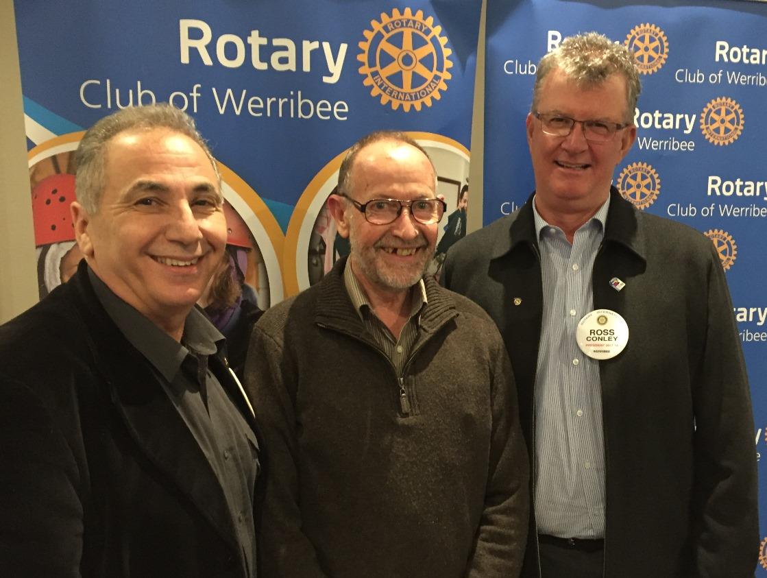
Guest speaker, Lance Pritchard from the Werribee Historical Society, gave us a history lesson of the Werribee River since the early days of white settlement.
He said that there are many historical sites along the river but, unfortunately, there are no signs to indicate these locations of significance. Despite many requests for Council to install signage, it has fallen on deaf ears. Some of the most important historical areas are:
- The Chaffey irrigation colony created in 1888 about 6km north of the CBD. There is a rock ledge by the water's edge that supported a pump for irrigation. The Chaffeys were one of the first families in the area.
- The Hume and Hovell memorial tree. These explorers crossed the river in 1824 and a tree has been planted to commemorate the expedition.
- Site of the old Werribee township which was located about 4km north of the current CBD. Travellers between Melbourne and Geelong would pass through this point to avoid going near Bungey's Hole which was occupied by the aborigines.
- Riverbend Historic Park which was the home of George Chaffey and his family.
- The Diversion Weir which was built by the State Rivers and Water Supply Commission to assist with irrigation.
- Some unique flora including a Tasmanian Blue Gum and a Mediterranean Stone Pine.
- The first bridge crossing north of Shaws Road.
- The Galvin irrigation pump.
- Captain Percy's Chirnside Manor which was destroyed by fire in 1966.
- The Budgel Carnies Hole, now better known as Bungey's Hole. This was the town's original water supply. There was also a punt that operated to enable travellers to get across the river.
- The ford near Wedge's property adjacent to the Werribee Park Mansion.
- The Board of Works jetty at Werribee South which was an amazing 370 metres long.
Lance encouraged us to visit the historical museum in Watton St where we could learn more about the river and about many other aspects of Werribee.

